November closing on a snowy note
Published 10:27 am Monday, November 30, 2015
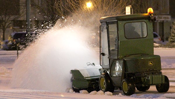
Crews cleared the sidewalk outside the Mower County Jail and Justice Center along Second Street Northeast Monday morning after the first batch of snow. Jason Schoonover/jason.schoonover@austindailyherald.com
Austin Daily Herald and the Associated Press
Mower County is on the edge of the biggest snow storm to hit Minnesota so far this season.
Snow began falling this morning in parts of southern Minnesota, and the first round of 1-3 inches of snow left numerous crashes and spinouts in the Twin Cities Monday morning. More waves were expected this afternoon and tonight.
Minnesota Department of Transportation spokesman Kevin Gutknecht said snow has been compacting on roadways in southern and southeastern Minnesota, causing slick conditions. He urged motorists to give snowplows room to work.
Gutknecht and others were warning the evening commute could be hit hard.
Mower County, the Twin Cities area and much of the rest of Minnesota is under a winter weather advisory, and The National Weather Service was calling for Austin to see 2 to 6 inches of snow and a wintry mix.
A winter storm warning is out just to the west for much of southern and western Minnesota, along and west of a line from Glenwood to Litchfield to Faribault and Albert Lea, and it also extends into northwest Iowa and eastern South Dakota. The National Weather Service says snowfall totals over the next two days could top 8 inches for much of west-central and south-central Minnesota, with local amounts near 11 inches possible.
Totals of 5 to 8 inches are possible Monday and Tuesday from central into east-central Minnesota, and 3 to 5 inches into west-central Wisconsin.
Reports this morning said roads in southeast Minnesota and northeast Iowa were partially to completely covered and slippery.
In Austin, an early batch of snow was expected to taper off this morning and potentially switch over to rain. A wintry mix was expected to continue throughout the day with the heaviest snowfall rates expected between between noon and 6 p.m.
Though the weather service was calling for Austin to receive about 2 to 6 inches of snow and sleet with reduced visibilities at times as of this morning, it also said a small shift in temperatures could impact snowfall amounts.
Snow was expected to continue on Tuesday, but less than an inch of snow was expected on Tuesday.
A winter weather advisory remains in effect until the end of Tuesday for Mower County, where high temperatures were expected to be around 33 both Monday and Tuesday.
In Albert Lea, the forecast called for 5 to 11 inches of snow.
Check back for updates at www.austindailyherald.com.