Heavy rains cause minor flooding
Published 10:32 am Friday, July 24, 2015
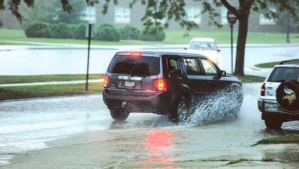
A vehicle drives through a water-soaked intersection along Fourth Avenue SE just off of Ellis Middle School Friday morning. Eric Johnson/photodesk@austindailyherald.com
A strong line of thunderstorms left a flood advisory and several flooded intersections in Austin Friday morning.
The National Weather Service reported about 1.2 inches of rain had fallen by 8 a.m. Friday amid small stream and street flooding. According to the Austin Police Department as much as 3 inches of rain may have fallen in southwest Austin.
Several roads around Austin were flooded, and Oakland Avenue was barricaded at the railroad bridge east of 10th Street Northeast between 7:30 and 8:45 a.m. Interstate 90 between the Sixth Street and 11th Drive Northeast exits were closed from 8:15 to 8:45 a.m. as well.
Police Lt. John Mueller urged residents to slow down in areas with standing water, and pay attention to high water signs and barricades. He also warned residents to keep their headlights on during thunderstorms.
“If your wipers are on, headlights are on,” he said. “It’s state law.”
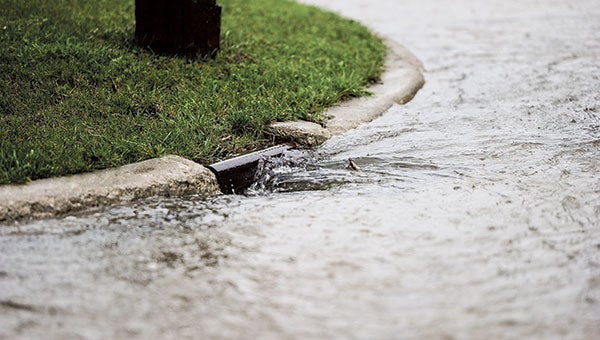
Water surges down a drain as rain continued to fall this morning, flooding several intersections around Austin.
Eric Johnson/photodesk@austindailyherald.com
The storm was expected to diminish by noon and the flood advisory was expected to expire at 9:45 a.m. A few more systems could move through the area Friday.
“The storms are starting to wean out now, but now the rain is going to move through,” Jillian Young, NWS intern meteorologist said. “There could be some isolated lighting strikes and people may hear thunder in the distance, but it will be mostly rain coming through.”
t about .5 more inches through the rest of Friday.
A tornado warning was briefly issued in Freeborn County after radar indicated a system capable of producing a tornado at 7 a.m. near Geneva and moving southeast. Freeborn County was also under a severe thunderstorm warning. The storm dissipated before it reached Mower County.
The clouds will give way to sunshine on Saturday with a high of 85. There’s a 20 percent chance of thunderstorms on Saturday night and a 40 percent chance of storms on Sunday.