Extreme heat settles in, fire department preaches safety
Published 10:15 am Tuesday, July 25, 2023
|
Getting your Trinity Audio player ready...
|
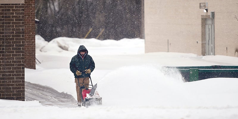
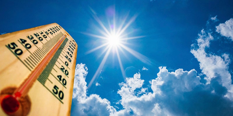
Despite the dry conditions, the area has been enjoying pleasant temperatures over recent weeks, but that is about to change as a heat wave settles in on the area.
After a day in the high 80s, touching on 90 Monday, and again Tuesday, temperatures will continue to rise deep into the week into the 90s with heat indexes pushing close to triple digits.
According to the National Weather Service, temperatures are expected into the low to mid 90s on Wednesday, Thursday and Friday with a chance of the heat index spiking to between 95-100.
According to Austin Fire Department Commander Josh Kunze, people need to understand the dangers posed by the extreme heat and approach the day accordingly.

Graphic courtesy of the National Weather Service
“Have a look at the peak times,” he said. “It’s a lot cooler in the morning and the night. Avoid being on dark services like tar roads when you’re walking. Avoid things like mowing the lawn, exercising, things like that.”
People are advised to pay attention to their own bodies if they are outside during the most extreme portions of the heat. Heat cramps, excess sweating, nausea, headaches, increased heart rate and more can all be indications of heat exhaustion or heat stroke.
“A lot of it depends on the condition you keep yourself in,” Kunze said. “Drink water and hydrate.”
“It’s all the same stuff we always preach,” he continued. “Be aware of how you feel. If you feel poorly, take it very seriously and get yourself out of the sun right away.”
Temperatures will dip somewhat into Saturday and Sunday with possible highs of 82 and 83 respectively.
There are also slim chances of rain at various points during the week, with the greatest chances coming Thursday night when there is a 50% chance of thunderstorms.
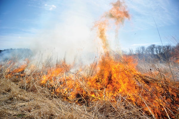
The heat and humidity combined with the little chance of rain is not welcome news for many looking for a reprieve from current drought conditions for southeast Minnesota.
According to the U.S. drought monitor the entire state of Minnesota is abnormally dry or worse with the state’s largest pocket of extreme drought, as of July 20, centered over the Rochester area.
Mower County ranges from abnormally dry to severe.
The NWS reports that through May 15, Rochester International Airport received 15.78 inches of precipitation, however, from May 16 through July 18, the area has received just 1.86 inches of rain.
Mower has fared a little better over time. Its total as of May 15 at the Austin Municipal Airport was 14.83 inches of precipitation, more than four inches over the normal of 10.23 inches.
But between May 15 and June 15, the area only received .08 of an inch. Over the next month we received a bit of a reprieve with nearly three inches recorded at the airport for a total of 17.51 inches through July 15, but that is still over three inches under the normal of 20.36 inches.