In Minn.’s Bonanza Valley, DNR gauges water use as farmers watch
Published 8:09 am Wednesday, September 5, 2018

- DNR hydrologist Erynn Jenzen stands at the edge of the North Fork Crow River near Belgrade, where the DNR is measuring stream flows as part of the Bonanza Valley groundwater management area project. Kirsti Marohn/MPR News
By Kirsti Marohn
MPR News/90.1 FM
Far below the soil in central Minnesota’s Bonanza Valley lies the groundwater that has helped make this sandy plain live up to its name, with endless rows of corn and scattered dairy farms.
The region, which stretches northwest from Paynesville in central Minnesota almost to Alexandria, is one of three areas in Minnesota where growing demand for water is a concern — and where the state’s Department of Natural Resources is taking steps to better manage its use.
Researchers have been collecting extensive data in the Bonanza Valley to track the area’s groundwater supply, so they can make sure there’s plenty available for future generations.
“It’s because these resources are so important for families, for communities, for livestock producers, for drinking that DNR wants to continue to make water available for those purposes,” said Mark Hauck, the DNR’s manager on the project.”And the way we do that is to make sure it’s sustainable.”
Throughout rural Minnesota, many people depend on groundwater: Cities and homeowners with private wells pump it for drinking. Businesses and industries use it for manufacturing and golf courses use it to keep the grass green.
In the Bonanza Valley, the biggest users of groundwater are farmers irrigating their fields. Over the past 25 years, groundwater use here has risen about five times faster than the state average.
The DNR has been studying the area in an effort to better understand whether the level of use is depleting the underground aquifer faster than it can be replenished. Staff hydrologists are also collecting data on whether groundwater use is affecting area rivers, streams and wetlands.
“We need to have a better understanding of the hydrologic cycle,” said Greg Kruse, water monitoring and surveying supervisor for the DNR.”When it rains, what happens to that water when it hits the ground? It runs off into the streams, runs into the wetlands, it soaks into the soils and it replenishes the aquifers.”
To gather that information in the Bonanza Valley, the DNR has 72 observation wells — small cylinders that extend 40 feet or more underground. The wells have electronic loggers that send hourly updates of the water level.
Hydrologists also can hand-check the levels by dropping down the tube an electronic tape measure with a sensor that beeps when it hits the water’s surface.
To gauge the impact on rivers and streams, the DNR installed solar-powered stainless steel boxes at about 15 locations in the region. The boxes contain equipment to monitor the volume of water flowing, temperature, precipitation and other information. Hydrologists visit the sites every four to six weeks, year round, to check the measurements.
The DNR has been collecting this data for about nine years. Officials say it will help them figure out just how much groundwater can be used without causing long-term harm.
Farmers in the region, who depend on irrigation for their livelihood, are watching the project closely. Anyone who pumps large volumes of groundwater — more than 10,000 gallons a day — needs a permit from the DNR.
DNR officials say they need at least 10 years of data before they can start to draw conclusions. Depending on what the data show, it’s possible the agency could eventually decide to issue fewer permits or limit how much water permit holders can use.
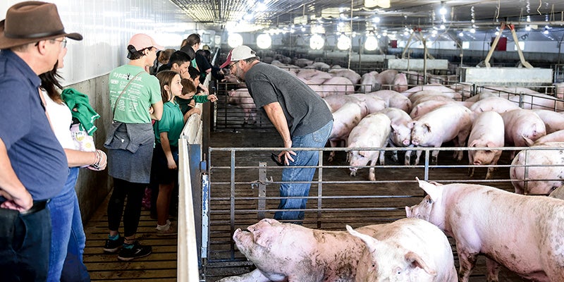
That would affect farmers like Grant Anderson, who farms between Belgrade and Brooten, Minn., with his father and two brothers. They raise corn, soybeans, sugar beets and kidney beans, as well as hogs and cattle.
“We’re just as concerned with the sustainability of the aquifer and the groundwater as anybody is, because it’s our lifeblood,” Anderson said.”It’s what is able to support and sustain our farm.”