It was a wild day of Midwest weather
Published 7:53 am Tuesday, April 1, 2014
18 inches of new snow in NW Minnesota
—Associated Press
THIEF RIVER FALLS — Eighteen inches of fresh snow whipped up by winds of 50 miles per hour might seem like a cruel April Fool’s joke, but for residents of northwestern Minnesota it’s all too real.
Minnesota Department of Transportation officials reported hazardous driving conditions in northwestern counties and difficult conditions for the northern half of the state.
The National Weather Service reported 18 inches of new snow at Thief River Falls and Warren and 16 inches in Salol in Roseau County.
To the south, a tornado caused damage at three farms southeast of St. Leo in Yellow Medicine County, but no injuries were reported.
Tornado damages farms in western Minnesota
—Associated Press
MINNEAPOLIS — A tornado has damaged at least three farms in rural Minnesota, but no injuries are reported.
Yellow Medicine County Sheriff Bill Flaten said in a statement the tornado was reported about 4 p.m. Monday southeast of St. Leo.
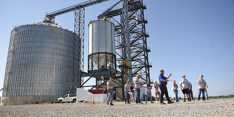
Flaten says at least three farms were hit, with machine sheds, grain bins, outbuildings and homes damaged.
He says there have been no reports of injuries.
St. Leo is about three hours west of Minneapolis.
Early spring blizzard pummels the Upper Midwest
—Associated Press
SIOUX FALLS, S.D. — A spring snowstorm in the Upper Midwest shut down schools and government offices, canceled flights and closed main roads and interstates Monday, while making life miserable for cattle ranchers in the midst of calving season.
The National Weather Service issued blizzard warnings for much of the Dakotas and part of Minnesota, with the storm expected to linger through Monday night in some areas. Eastern North Dakota and northwestern Minnesota could see the most snow, up to 20 inches.
The South Dakota Department of Transportation closed a section of Interstate 90 from Ellsworth Air Force Base to Wall. Officials said white-out conditions with zero to near-zero visibility, icy roads, drifting snow, as well as multiple accidents made safe travel almost impossible in some areas.
According to the National Weather Service in Rapid City, accumulations ranging from 1.5 to up to 7 inches were reported in the western part of the state. But the wind, not necessarily the snow, created the hazardous driving conditions.
“The big story was the strong wind that we had with the snow,” said meteorologist Eric Helgeson. “We had wind gusts of 60 miles an hour, and that extended over most of northwestern South Dakota, including Rapid City.”
Drifting snow reduced visibilities for motorists to less than a quarter of a mile early in the morning and into the early afternoon. But motorists faced even more difficult conditions in eastern North Dakota, where the weather service reported visibilities of about 300 feet Monday evening in Grand Forks.
Grand Forks Air Force Base in northeastern North Dakota required only essential personnel to report for duty Monday. North Dakota officials closed all lanes of I-29 from Grand Forks to the Canadian border around 3 p.m. All lanes of I-94 from Bismarck to Fargo were also closed and so were the lanes of U.S. Highway 2 from Devils Lake to Grand Forks.
Freezing rain causes massive backup on I-35 NB at Northfield
By Tim Harlow
Star Tribune (Minneapolis)
Freezing rain just south of the metro turned roads into skating rinks early Tuesday and led to a jackknifed semi that caused an extended closure of I-35 near Northfield.
The truck slid sideways about 5:40 a.m. and blocked lanes at milepost 71. That brought traffic to a standstill with some motorists caught in the backup for more than an hour.
Many motorists exited at the Hwy. 19 ramps to Northfield and used a frontage road to continue their northward journey.
One lane was reopened by 7:30 a.m., but the massive traffic backup persisted.
MnDOT listed roads as being in difficult condition in places such as Lakeville, Farmington, Elko, Northfield and Faribault.
Metro roads were in slightly better shape as precipitation held off for the first part of the morning rush. But that did not make for smooth sailing.
A wreck on southbound 35W at Sunset Road about 6:30 a.m. in the Circle Pines/Lino Lakes area caused traffic to bunch up for about 20 minutes, with delays extending back to near the Forest Lake split.


