New bike trail opens
Published 12:00 am Friday, July 30, 1999
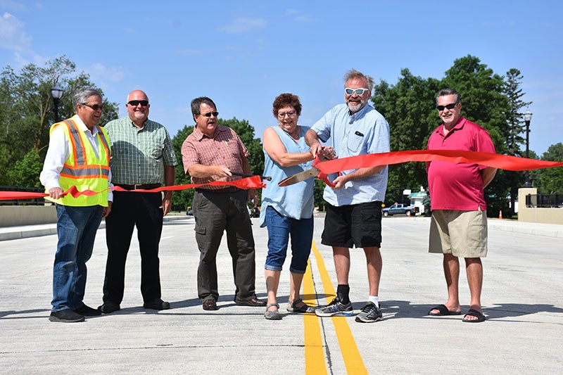
Dan Ulwelling said it was "like canoeing right in Austin" after he traveled down the recently completed paved path from the Mill Pond to Todd Park.
Friday, July 30, 1999
Dan Ulwelling said it was "like canoeing right in Austin" after he traveled down the recently completed paved path from the Mill Pond to Todd Park.
"You get kind of a different view, see things you don’t normally notice," the Rydjor Bike store owner said. "Plus, Todd Park is a nice place and I don’t get there that often."
Ulwelling walked the trail rather than riding it, and said it’s perfect for walkers, roller bladers and those after a relatively short bike ride.
Mileage is posted on the trail, which covers approximately 2.1 miles or 3.3 kilometers. If you include a lap around the Mill Pond before setting off for Todd Park, a walker/bicyclist/roller blader will put in more than 3 miles by the trail’s end, nearly 6 1/2 miles for a round trip. The trail follows 8th Ave. NE from the Mill Pond across the railroad tracks, then north across the new bridge over Interstate 90 and on to Todd Park via the old railroad right-of-way.
Assistant city engineer Dan Fick said the trail isn’t actually complete yet, although the pavement is in and lots of people are already using it.
"We still have some lighting work to do, plus landscaping and some fencing needs to be done," Fick said.
The Todd Park trail is only the first effort in making Austin more bike-friendly, at least for the recreational biker. Next on the agenda is the "Cedar River Central Trail." That trail will follow the Cedar River corridor from the Mill Pond to the Bandshell/Central Park. With two lots left to purchase, the city of Austin is still laying the groundwork. Work on that trail should start either late fall or early in the spring of 2000.
Further in the future, another city trail may also include a trail from the bridge over I-90 to the Hormel Nature Center, possibly running along the side of 12th Ave. NE.
With luck and funding, Austin may be connected to two other trail systems within a few years. The Blazing Star Trail, completed from the Eddie Cochran memorial in Albert Lea to Myre-Island State Park, is set to head east from the northern tip of Albert Lea Lake to Hayward, and further east past the vanishing villages of Sigsbe and Sumner and on to the village of Moscow before entering Mower County and connecting with the Shooting Star Trail.
The Shooting Star Trail will eventually make its way around Mower County from Lake Louise to the Austin Municipal Airport. The portion of the Shooting Star running from Lake Louise to LeRoy (1 1/2 miles) is complete; the next portion under way will be the 8 1/2 miles from LeRoy to Taopi, which the organization had hoped would be completed by spring. After going cross country for that stretch, the trail would follow old railroad line land from Taopi to Rose Creek, and from Rose Creek to the southeast corner of the airport. The city of Austin would take over construction from that point, and the trail would hook up with others at the J.C. Hormel Nature Center.
"That’s all a ways down the road," Dale Vandenover said. Vandenover is a member of the Southern Minnesota Bike Club and an unofficial participant in the Shooting Star Trail organization, which is made up of representatives from LeRoy, Taopi, Adams, Rose Creek and other participating towns.
"I don’t think we’ve even predicted when the whole thing will be done, that depends on grant money," Vandenover said.
Making trails isn’t cheap. The Mill Pond/Todd Park cost more than $300,000 – approximately $150,000 per mile. Of that, the city of Austin pays 20 percent. The remaining 80 percent is being covered by federal ISTEA (Intermodal Surface Transportation Efficiency Act) grants.


