Blizzard settles in over the next couple days
Published 3:08 pm Thursday, December 22, 2022
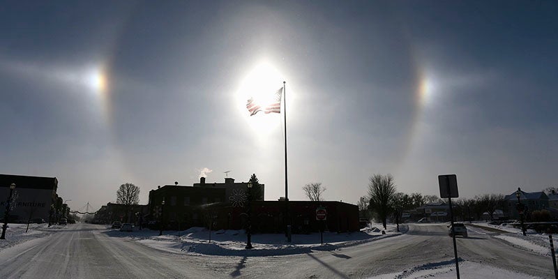
- Sundogs flank an American flag downtown Austin Thursday afternoon. Eric Johnson/photodesk@austindailyherald.com
|
Getting your Trinity Audio player ready...
|
As the snow has passed, the most dangerous part of this week’s storm is settling in with bitter cold and high winds.
According to the National Weather Service a blizzard warning will continue through 6 a.m. Saturday. Temperatures were hovering steady at around -11 Thursday afternoon, but wind child values were already as low as -38 under winds of 18 to 23 mph and 36 mph gusts.
Temperatures will remain well below zero tonight as wind chills continue to dip as low as -40 with 22 to 28 mph winds and gusts of 43 complete with blowing snow.
Widespread blowing snow will continue to rip across the area Friday under partly sunny skies and -3 mph temperatures. Wind chill values will continue to be dangerous at -40 during the day and -34 at night.
According to the Minnesota Department of Transportations 511 page, visibility from blowing snow is down to a half mile or less across southern Minnesota.
During the overnight period, Wednesday into Thursday, the area received 2-3 inches of snow from the front end of the storm.
The NWS is warning travelers to be aware and plan for deteriorating travel conditions from blowing snow, including reduced visibility.