Update: Area placed under Winter Storm Watch
Published 9:37 pm Tuesday, February 2, 2021
|
Getting your Trinity Audio player ready...
|
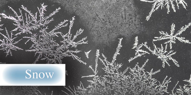
Snow beginning Thursday morning is expected to be the precursor to much colder temperatures in the area later this week.
The National Weather Service in La Crosse, Wisconsin, has placed Mower County under a Winter Storm Watch from 6 a.m. Thursday to 6 a.m. Friday.
According to the NWS, a wintry mix or rain will will spread into the area late Wednesday night or Thursday morning, changing to all snow by noon Thursday. The bulk of the snow will fall during the day Thursday and travel
conditions will deteriorate rapidly. Northwest winds will then ramp up Thursday afternoon with gusts in the 30 to 40 miles per hour range into overnight and could cause blizzard conditions. Drifting snow will be found throughout the area.
The NWS is currently predicting about 1 to 3 inches of snow accumulation, though there are uncertainties on the storm strength, which will influence how much snow will fall.
Temperatures for the following days are forecasted to be in the single digit to sub-zero range. The high for Friday is 11 during the day with an overnight low of -4. The weekend will be even colder with Saturday highs and lows of 2 and -16 and Sunday highs and lows of -2 and -15.
In the event of severe cold, it is advised to limit outdoor activities as much as possible and wear proper clothing when outdoors. For the home, make sure your natural gas meter is clear of snow and ice to allow for proper air flow to avoid shutting down your furnace. If you have elderly neighbors, try to check in with them to make sure their home is properly heated.