Heavy rain, storms expected Tuesday into Wednesday; area placed in flash flood watch
Published 5:08 pm Monday, June 8, 2020
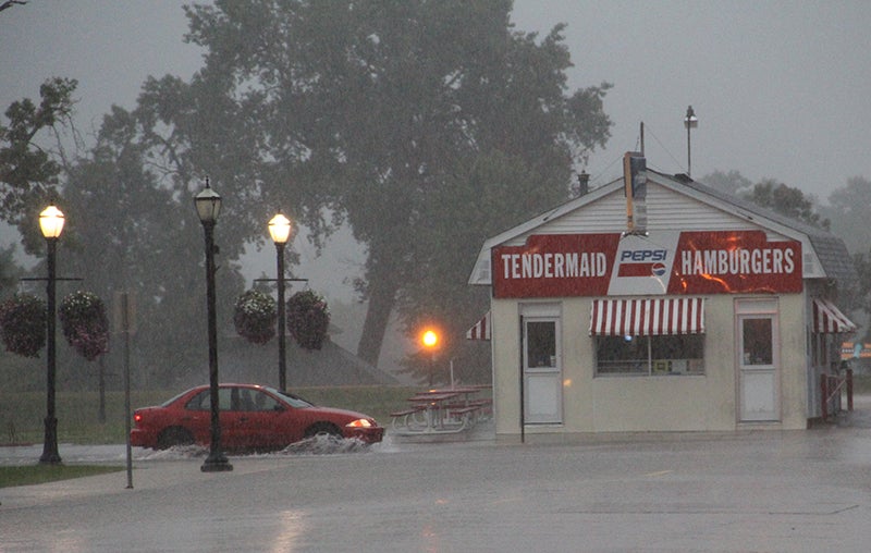
- A car passes through standing water near the Tendermaid in this 2017 photo. Rain predicted Tuesday into Wednesday could bring flash floods as Mower is currently in a flash flood watch. Herald file photo
|
Getting your Trinity Audio player ready...
|
Despite coming ashore in the Gulf of Mexico, the upper Midwest is expected to feel the effects of Tropical Storm Cristobal starting Tuesday and extending through Wednesday.
According to the National Weather Service forecast, after a day that saw temperatures soar into the 90s, there will be expected showers and possible thunderstorms beginning Tuesday morning and extending into Wednesday morning, after which the rain will give way to clearing skies into Wednesday evening, all remnants of Cristobal that made landfall Sunday.
The area was placed into a flash flood watch starting Tuesday at 1 p.m. and lasting until 7 p.m. Wednesday.
Some places in the Midwest can expect between 2-3 inches of rain.
In Mower, Dodge and Steele counties, around one and a half to two inches of rain is possible on Tuesday, according to NWS meteorologist Cathy Zapotocny. This rain will bring a substantial flash flood risk that could be compounded after a month’s worth of systems that delivered heavy rain to the area.
“We’ve definitely seen pockets of heavy rainfall near Austin and Albert Lea over the last 30 days, 200 to 300 percent above normal,” Zapotocny said. “Just east of Austin and west of LaCrosse (Wisconsin) it’s more normal at around 100-200 percent. There are definitely areas more prone (to flooding) in that area between Austin and Albert Lea.”
As of Monday, the Austin area has received 13.15 inches of precipitation, close to an inch above the normal of 12.83 inches for this time.
While the NWS is confident in the system itself, the heaviest rain falls could still shift.
“There’s been a real consistent signal that it will track north into the upper Mississippi Valley,” Zapotocny said. “But it’s always difficult when there are two centers of low pressure that could bring rain to two different spots.”
A factor that could mitigate expected rainfall totals is that the area has had relatively dry days lately with another hot one predicted today with actively growing vegetation. That doesn’t, however, take away how complicated the system is, with both heavy rains combined with possible storms.
“There is a potential for severe weather that people will want to pay attention to,” Zapotocny said. “In addition, there are going to be strong winds on the back of this. “
Those strong northwest winds will blow into the area Wednesday with gusts between 35-45 mph expected. The strongest winds are expected to be in the southeast Minnesota, northeast Iowa areas.